

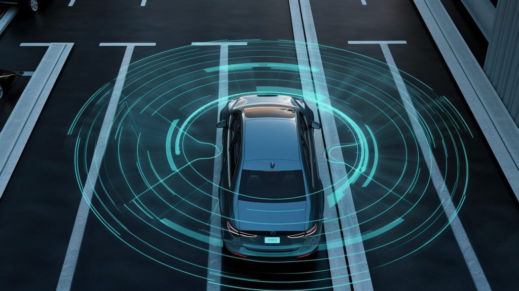
The transition from human-driven automobiles to fully autonomous vehicles represents the most significant engineering leap in the history of transportation. At the heart of this revolution is a fundamental challenge: for a machine to safely navigate the physical world, it must first be able to perceive it. Human drivers rely on an incredibly sophisticated visual processing system, but machines require specialized hardware to build a reliable, real-time model of their surroundings. While high-definition cameras capture color and read traffic signs, they fall short in poor lighting or adverse weather. This is where active perception technologies become non-negotiable. The true heavy lifting in autonomous navigation is handled by two distinct but highly complementary sensor technologies: Radar and LiDAR.
The Core Challenge of Machine Perception
To understand why autonomous vehicles require multiple types of sensors, one must first recognize the chaos of the open road. A vehicle moving at highway speeds must instantly identify erratic pedestrians, stray animals, sudden lane merges, and stationary obstacles. It must do this facing directly into blinding sunsets, traversing pitch-black rural highways, and navigating through torrential downpours.
Passive sensors, such as traditional optical cameras, rely on ambient light to capture an image. If a camera is blinded by the sun or obscured by heavy fog, the vehicle effectively goes blind. Active sensors solve this problem by emitting their own energy signals and measuring the reflection that bounces back. By generating their own environmental data, active sensors operate independently of ambient lighting conditions, providing the critical redundancy required to keep passengers and pedestrians safe.
Demystifying Radar in Automotive Applications
Radio Detection and Ranging, universally known as Radar, has been a staple in automotive safety for over two decades. Originally developed for military aviation and maritime navigation, Radar was adapted for consumer vehicles to power early advanced driver-assistance systems, such as adaptive cruise control and blind-spot monitoring.
Radar operates by transmitting short pulses of radio waves into the environment. When these electromagnetic waves strike an object, they bounce back to the sensor’s receiver. By calculating the exact time it takes for the signal to return, the vehicle’s computer can determine the precise distance to the object.
The Inherent Strengths of Radar
The defining advantage of Radar is its imperviousness to severe weather and poor visibility. Because radio waves have long wavelengths, they can easily penetrate rain, dense fog, snow, and airborne dust. When cameras and human eyes are rendered useless by a blizzard, Radar continues to track the road ahead with uncompromising reliability.
Furthermore, Radar is exceptionally proficient at calculating the velocity of moving objects. By leveraging the Doppler effect—the change in frequency of a wave in relation to an observer who is moving relative to the wave source—a Radar unit can instantly determine whether the car ahead is accelerating, maintaining speed, or slamming on its brakes. This makes it an invaluable tool for highway driving and collision avoidance.
The Limitations of Automotive Radar
Despite its reliability, traditional automotive Radar has a critical weakness: low spatial resolution. While it is excellent at detecting that a large, dense object is present, it struggles to identify exactly what that object is. A conventional Radar sensor might detect a solid mass in the road ahead, but it cannot confidently distinguish whether that mass is a disabled vehicle, a large metallic road sign, or a bridge overpass. This lack of detail can lead to false positives, causing the vehicle to brake unnecessarily, or worse, false negatives where stationary obstacles are ignored by the system’s filtering algorithms.
LiDAR: The High-Resolution Architect of the 3D World
Light Detection and Ranging, or LiDAR, emerged as the solution to Radar’s resolution problem. While Radar uses broad radio waves, LiDAR utilizes highly focused pulses of infrared laser light. Modern automotive LiDAR systems fire millions of these laser pulses per second, sweeping them across the environment using spinning mirrors or advanced solid-state optical arrays.
By measuring the time of flight for each individual laser pulse to bounce back, LiDAR generates a phenomenally dense, three-dimensional topographic map of the vehicle’s surroundings. This digital map is known as a point cloud.
The Unmatched Precision of LiDAR
The spatial resolution provided by LiDAR is nothing short of revolutionary for autonomous driving. A high-quality LiDAR point cloud provides millimeter-level accuracy, allowing the vehicle’s onboard computer to not only detect an object but to classify it based on its physical shape. LiDAR can distinguish a pedestrian from a bicycle, tell the difference between a child and a mailbox, and even detect the exact orientation of a vehicle in the adjacent lane.
Because it generates its own light source, LiDAR operates flawlessly in pitch-black conditions. While a camera struggles on an unlit rural road, a LiDAR-equipped vehicle perceives the environment exactly as clearly at midnight as it does at noon.
The Vulnerabilities of Laser Perception
The reliance on light is also LiDAR’s primary vulnerability. Because lasers operate on optical wavelengths, they can be disrupted by the same environmental factors that obscure human vision. Heavy rain, thick fog, and blowing snow can scatter the laser pulses, severely degrading the quality of the point cloud and limiting the sensor’s effective range.
Historically, cost and physical footprint were also massive barriers. Early LiDAR units were bulky, mechanically complex spinning buckets mounted on the roofs of test vehicles, costing tens of thousands of dollars each. While prices have plummeted, integrating LiDAR into the aerodynamic design of consumer vehicles remains an engineering hurdle.
The Sensor Fusion Imperative
The realities of the physical world dictate that no single sensor can guarantee safety under all conditions. This brings us to the concept of sensor fusion—the intricate software architecture that combines the inputs from cameras, Radar, and LiDAR into a single, cohesive worldview.
Sensor fusion is the brain of the autonomous vehicle. It relies on the overlapping strengths of each sensor to cancel out their respective weaknesses. Imagine a scenario where an autonomous vehicle is driving through a dense, foggy morning. The optical cameras are heavily obscured and struggle to read the lane markings. The LiDAR system’s range is reduced because the laser light is refracting off the water droplets in the fog. However, the Radar system easily pierces the fog, tracking the speed and distance of the vehicles a quarter-mile ahead. Meanwhile, the LiDAR maps the immediate curbside and detects a pedestrian stepping into the crosswalk—an object the Radar might have missed due to its low resolution.
By overlapping these data streams, the vehicle achieves true redundancy. If one sensor is blinded, the others seamlessly take over the cognitive load, ensuring the vehicle can safely navigate to a stop or continue its journey.
The Evolution of Next-Generation Hardware
The automotive industry is not resting on current capabilities; both Radar and LiDAR are undergoing rapid technological evolution to close the remaining gaps in machine perception.
The LiDAR industry is aggressively moving away from mechanical, spinning units toward solid-state LiDAR. By eliminating moving parts, solid-state systems are vastly more durable, significantly cheaper to manufacture, and small enough to be seamlessly embedded inside a vehicle’s headlights or behind the rearview mirror. Furthermore, advanced Frequency Modulated Continuous Wave (FMCW) LiDAR is being developed to measure both the position and the exact velocity of objects simultaneously, blending the best features of traditional LiDAR and Radar.
Simultaneously, Radar technology is experiencing its own renaissance through the development of 4D imaging Radar. Traditional Radar measures three dimensions: distance, azimuth (horizontal angle), and velocity. 4D Radar introduces the fourth dimension of elevation. By utilizing advanced antenna arrays and processing power, 4D Radar generates a much higher-resolution point cloud than its predecessors. It can determine if an object is suspended above the road—like a bridge or an overhead sign—or sitting directly in the vehicle’s path, effectively bridging the resolution gap between standard Radar and LiDAR.
As the race toward fully autonomous Level 4 and Level 5 vehicles continues, the hardware architecture is clear. Achieving a safety record that surpasses human capability requires a diverse, robust, and overlapping sensory network. The synergy between the weather-piercing reliability of Radar and the high-resolution world-building of LiDAR will remain the foundational architecture that allows the cars of tomorrow to safely navigate the complexities of the real world.

Comments are closed.